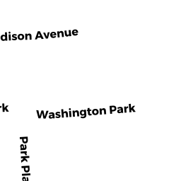
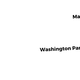
15-17 WASHINGTON PK 17
Owner Information
GOLDMAN GAIL R
17 WASHINGTON PK
NEWTON, MA 02460


Property Details
15-17 WASHINGTON PK 17 is classified as a Residential Condominium (Victorian).
The primary structure on this property was built in 1900. There are 6,641ft2 of built area within this property. There is 4,971ft2 of residential/living space within this property. This property is listed as having 12 rooms.
15-17 WASHINGTON PK 17 is valued at $1,898,700. The land is valued at $0 and the structures are valued at $1,898,700.
This property is in Zone MR1. Confirm with local Zoning Board authorities to ensure there are no overlays or other easements on this property.
The most recent deed for 15-17 WASHINGTON PK 17 is recorded at the local registrar in Book 47618, Page 283. 15-17 WASHINGTON PK 17 was last sold on Tuesday, June 13, 2006 for $100.
Assessment data from fiscal year 2022.
Flood Data
According to the FEMA National Flood Hazard Layer, this property does not appear to be in a flood zone. It may also be in an area not yet reviewed. Nonetheless, confirm this information prior to taking any action.
To view the flood hazards around this property, create a FEMA "Firmette" Map of the area around 15-17 WASHINGTON PK 17.
Broadband Internet Providers
| Provider | Type | Bandwidth (mbps) | |
|---|---|---|---|
| RCN | Cable | 500 | 20 |
| RCN | Cable | 1000 | 20 |
| VSAT Systems, LLC. | Satellite | 2 | 1 |
| HughesNet | Satellite | 25 | 3 |
| GCI Communication Corp. | Satellite | 0 | 0 |
| Viasat Inc | Satellite | 100 | 3 |
| Verizon New England Inc. | DSL | 15 | 1 |
| Verizon New England Inc. | Fiber | 940 | 880 |
| Comcast | Cable | 1000 | 35 |
Broadband service provider data from December 2020.
Adjacent Properties
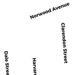
- 67 HARVARD ST
Single Family Residential owned by GRISWOLD ALEX V - 7 WASHINGTON PK
Two-Family Residential owned by HENDERSON R SCOTT - 20 MADISON AVE 1
Residential Condominium owned by NAYAR RIBHU - 20-22 MADISON AVE 2
Residential Condominium owned by ATTAR EYAL - 20-22 MADISON AVE
Other, Open Space owned by 20-22 MADISON AVE MASTER DEED - 16 MADISON AVE
Single Family Residential owned by RAM KARTHIK SOURIRAJAN - 21 WASHINGTON PK 1
Residential Condominium owned by JEZIORSKI JANICE P - 21 WASHINGTON PK 2
Residential Condominium owned by SWIRE DONALD J & HARRIET J - 21 WASHINGTON PK
Other, Open Space owned by 21 WASHINGTON PK MASTER DEED - 12-14 MADISON AVE
Two-Family Residential owned by GELFAND JUDITH L